
See weather observations and warnings in map context.

Bring supported rain radar, warnings, river and rainfall observations, satellite imagery and forecast layers into the same map you use for incidents, traffic and transport.

Coverage and update frequency vary by location, provider and feature.

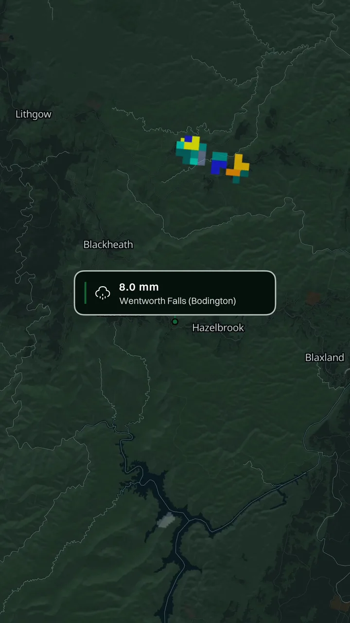
Awaremate weather map showing observed rainfall on eastern Australia

Weather layers available where supported

Awaremate can show rain radar, Doppler wind, satellite imagery, official warning areas, river heights, rainfall gauges and forecast layers including storm probability where supported.

Observation layers can be compared together. Forecast layers are selected one at a time so the map stays readable and the distinction between observed and modelled information remains clear.

  • Rain radar, Doppler and satellite observations
  • Official weather warning areas
  • River-height and rainfall-gauge observations
  • Supported forecast models and storm probability
  • Live lightning with AwarePlus+
01

Observed and forecast information are different

Radar, gauges and satellite imagery describe observations from supported sources. Forecast layers describe modelled possibilities. Awaremate keeps those modes distinct so a forecast is not presented as a current observation.

Weather information can be delayed, unavailable or affected by source coverage. Always check Bureau of Meteorology warnings and advice when conditions may affect safety.

02

Weather makes more sense beside the rest of the map

The useful question is often not only whether rain is nearby, but what it means for the road, public transport, incidents or an area around home. Awaremate lets you move between those layers without rebuilding your location context in another app.

Questions, answered.

Does Awaremate replace the Bureau of Meteorology?
No. Awaremate provides map context from supported sources. Follow Bureau of Meteorology warnings and official advice for safety decisions.
Is lightning included in the free map?
The live lightning layer is an AwarePlus+ feature. Other supported weather layers are available according to location and source.
Why can a weather layer be unavailable?
Coverage, source availability and update frequency vary. A layer may also be outside its supported region or observation period.

See what’s happening around you in Awaremate.

Download the app, choose the map layers that matter to you and set optional alerts for locations you care about.