
Check the road and public transport before you leave.

See supported traffic disruptions and available bus, train, tram, ferry, metro and coach information without losing the wider weather, incident and outage picture.

Coverage and update frequency vary by location, provider and feature.

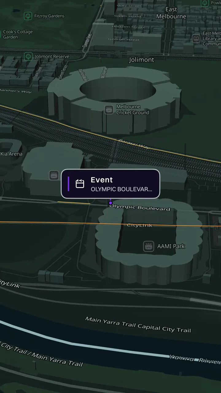
Awaremate traffic map showing a selected Melbourne traffic condition

Two useful transport views in one place

The traffic layer can include road incidents, closures, roadworks and available live congestion from supported sources. Public-transport layers can include routes, stops, service information and live vehicle positions where a network publishes them.

Tap a route, vehicle or disruption to inspect the available details. Coverage and freshness vary between networks, modes and jurisdictions.

  • Road incidents, closures and roadworks
  • Available live congestion
  • Bus, train, tram, ferry, metro and coach routes
  • Live vehicle positions where supported
  • Stops and available service information
01

Plan with the surrounding conditions in view

A delay can come from the road, the weather, an incident or the transport network itself. Keeping those layers in one map helps you investigate the local picture before choosing what to check next.

Awaremate is not a turn-by-turn navigation or journey-planning service. Use the relevant transport operator or navigation provider for final routing, fares and service decisions.

02

Transport coverage varies by network

Not every operator publishes the same schedule, service or real-time data. Some routes may show live vehicles while others show only available network information. The Data sources page links to the official open-data providers used by supported layers.

Questions, answered.

Does Awaremate provide journey planning?
No. Awaremate provides supported live-map context. Use the relevant operator or navigation provider for final journey planning.
Why are some vehicles not shown live?
Real-time availability varies by operator, route, mode and source condition.
Which transport modes can appear?
Supported layers may include buses, trains, trams, ferries, metro and coaches. Coverage varies.

See what’s happening around you in Awaremate.

Download the app, choose the map layers that matter to you and set optional alerts for locations you care about.