
See supported incidents and bushfires on one live map.

Awaremate brings supported government incident feeds together so you can check what is happening nearby, see available source details and move between incidents without opening a separate service for every jurisdiction.

Coverage and update frequency vary by location, provider and feature.

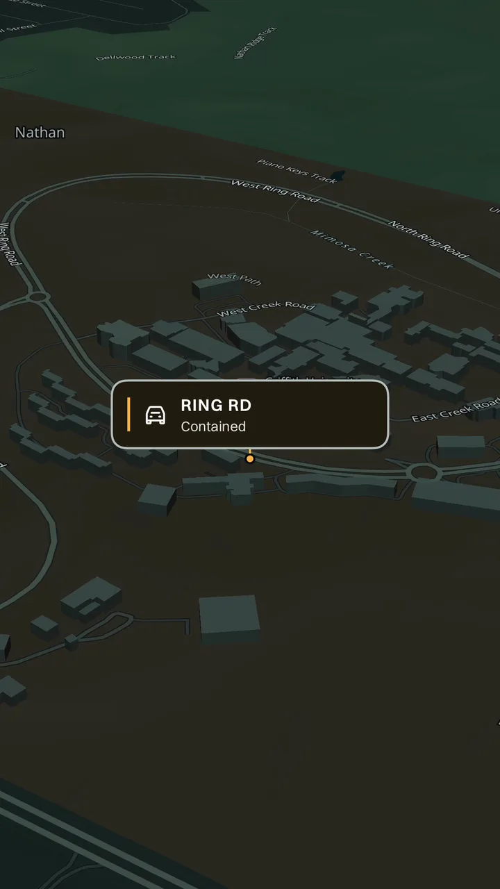
Awaremate incident map showing an affected area and incident callout

What the incident map can show

Where supported, Awaremate displays bushfires, vegetation fires, crashes and other attended incidents sourced from government services. The available status, category, location, timing and source depend on what each provider publishes.

Open an incident in the app to review the details supplied for that event. Source and update-time information is shown where available so you can judge how current the map entry may be.

  • Supported current incidents and warning areas
  • Incident category, status and location context where supplied
  • Source and update-time details where available
  • Related traffic, weather and outage layers on the same map
01

Coverage follows the source—not a marketing boundary

Incident coverage and update frequency vary by state, territory, provider and event type. An empty map does not prove that an area is safe or that no event exists. A source may be delayed, incomplete or temporarily unavailable.

Awaremate links its coverage to named providers rather than claiming complete Australia-wide incident coverage. Visit the coverage and data-source pages to see the source families currently represented.

02

Use official advice for safety decisions

Awaremate is an information and awareness tool, not an emergency warning service. Always follow official emergency-service advice. If you need urgent help in Australia, call 000.

Community reports are separate from official incident feeds and may not be verified. Check the source shown in each result before deciding what to do next.

Questions, answered.

Does Awaremate show every incident in Australia?
No. Coverage and update frequency vary by jurisdiction, provider and event type.
Where does incident information come from?
Awaremate uses supported government incident and warning sources. The Data sources page lists the source family for each jurisdiction.
Is Awaremate an emergency warning service?
No. Always follow official emergency-service advice and call 000 in an emergency.

See what’s happening around you in Awaremate.

Download the app, choose the map layers that matter to you and set optional alerts for locations you care about.